W. E. Brewer Scatter Creek Wildlife Management Area
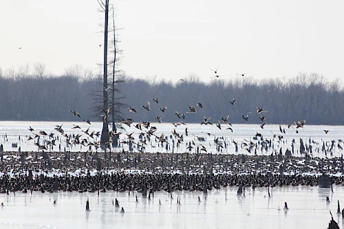
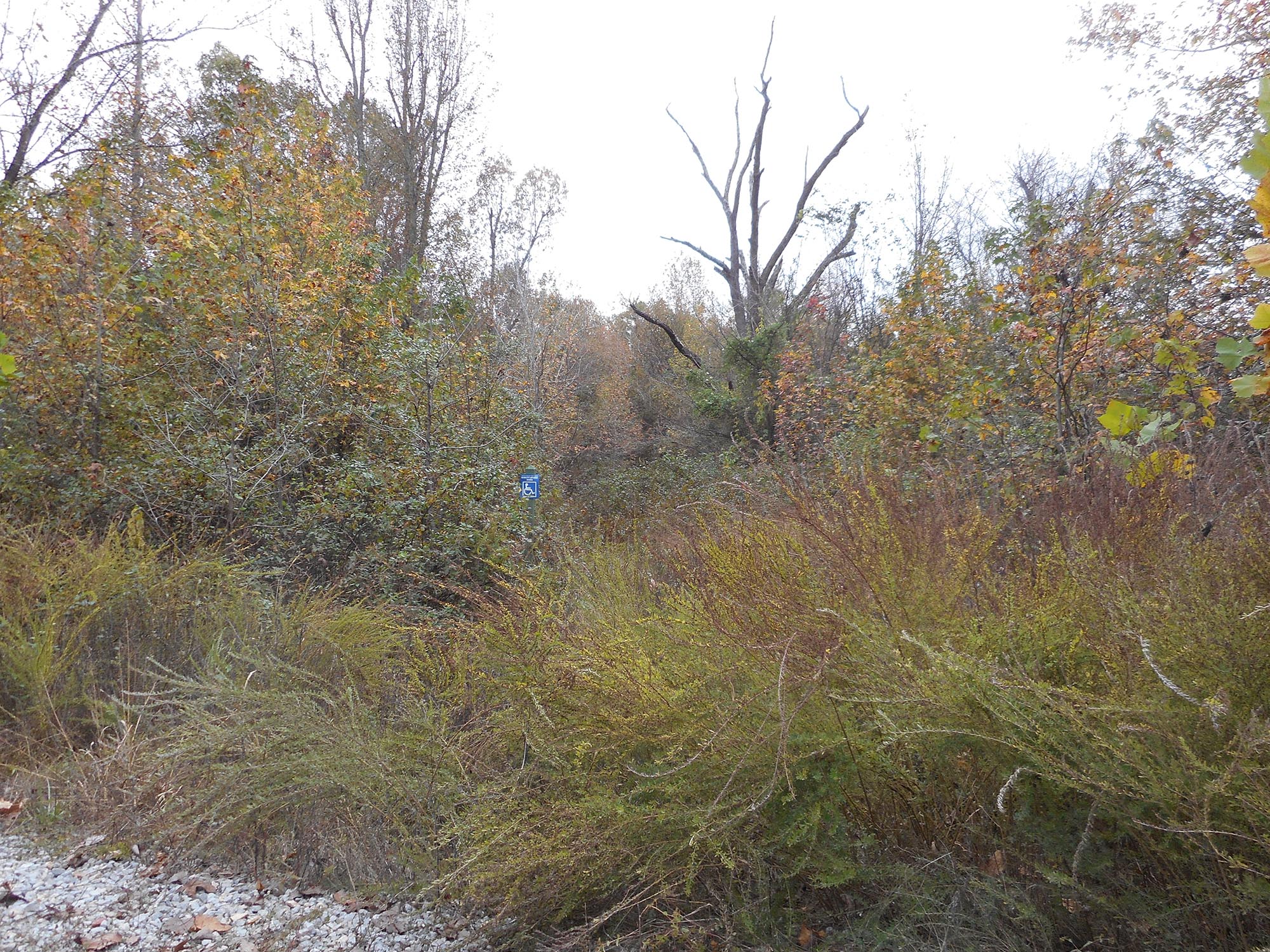
Narrow ridges characterize the topography, with sharp, winding tops, steep side slopes and narrow valleys between the ridges. Two streams, Scatter Creek and Locust Creek, head up on the area. The area is dotted with old field systems maintained as permanent open land. There are good populations of deer and turkey, along with squirrel, rabbit and quail. Interior roads and trails (off-limits to motorized vehicles) offer excellent opportunities for hiking, photography, wildlife viewing or birdwatching. The area is scenic year round, especially in spring and during the peak fall color period. A pavilion is located at the south end. Camping is permitted in designated areas only, and all sites are primitive. For information and regulations, call 1-877-972-5438.
This site may be reached by taking State Highway 49 north from Jonesboro to the intersection of State Highways 49 and 135 in Paragould. Continue north on State Highway 135 to the junction of State Highway 34. Turn left on State Highway 34 toward Delaplaine and go about 2 1/2 miles until you see the Scatter Creek project sign.