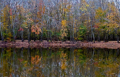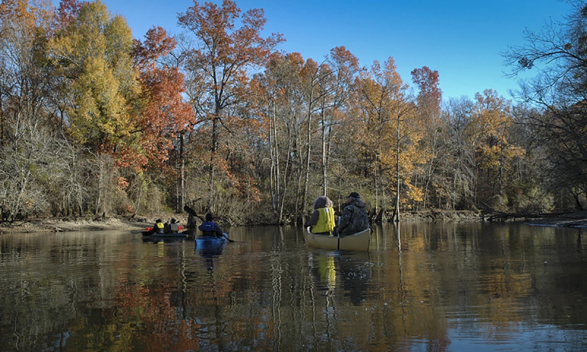
Cache River
The Cache River, when combined with the lower White River ecosystem in eastern Arkansas, represents the largest remaining tract of contiguous bottomland hardwood forest in North America. From its beginnings in southern Missouri, the Cache becomes a cypress-lined, natural wonder in Jackson County. Slowly winding its way southward, the river and surroundings become part of state and federal wildlife preserves. At the northern end, southwest of McCrory, the Rex Hancock/Black Swamp Wildlife Management Area covers more than 6,000 acres of prime wetlands under the protection of the Arkansas Game and Fish Commission. The Dagmar Wildlife Management Area, west of Brinkley, covers an additional 8,000 acres of bottomlands. The largest refuge along the river is the Cache River National Wildlife Refuge, which covers 55,000 acres in four counties. It should be noted that the Cache River Natural Area is set aside for endangered species within the Rex Hancock/Black Swamp WMA and is co-managed by the Arkansas Natural Heritage Commission. Outdoor opportunities in Cache River public use areas include fishing, waterfowl hunting, game hunting, wildlife watching and photography. Camping is primitive.